


Our Spring 2026 issue of the CVTA Trail Connections newsletter is now available!
Some of the CVTA Board Members describe their reasons for volunteering.
After multiple terms as CVTA president, Neal Falk is passing the torch to Erica Roselius. Many of you have probably met Erica at the events she has organized, including our recent Run the Valley 5K which enjoyed great success with over 60 participants.
In Erica’s words, “I joined the board several years ago because I love our valley’s trails and CVTA’s mission to connect our communities to the outdoors through those trails. As CVTA president, I am excited to continue to build on our mission by creating more events and opportunities for our region’s residents to experience our many trail systems and connect with each other.”
As a fitness trainer, endurance athlete and outdoor enthusiast, Erica brings a uniquely relevant perspective to our organization’s leadership. Plus, we still have Neal’s guidance as a director at large on our board.
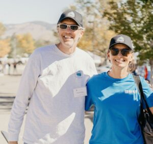
Neal & Erica at our 2022 Trails Fest


Be sure to click “like” if you want to stay up-to-date on project developments, trail building opportunities, hiking events, and many other exciting happenings with the CVTA!
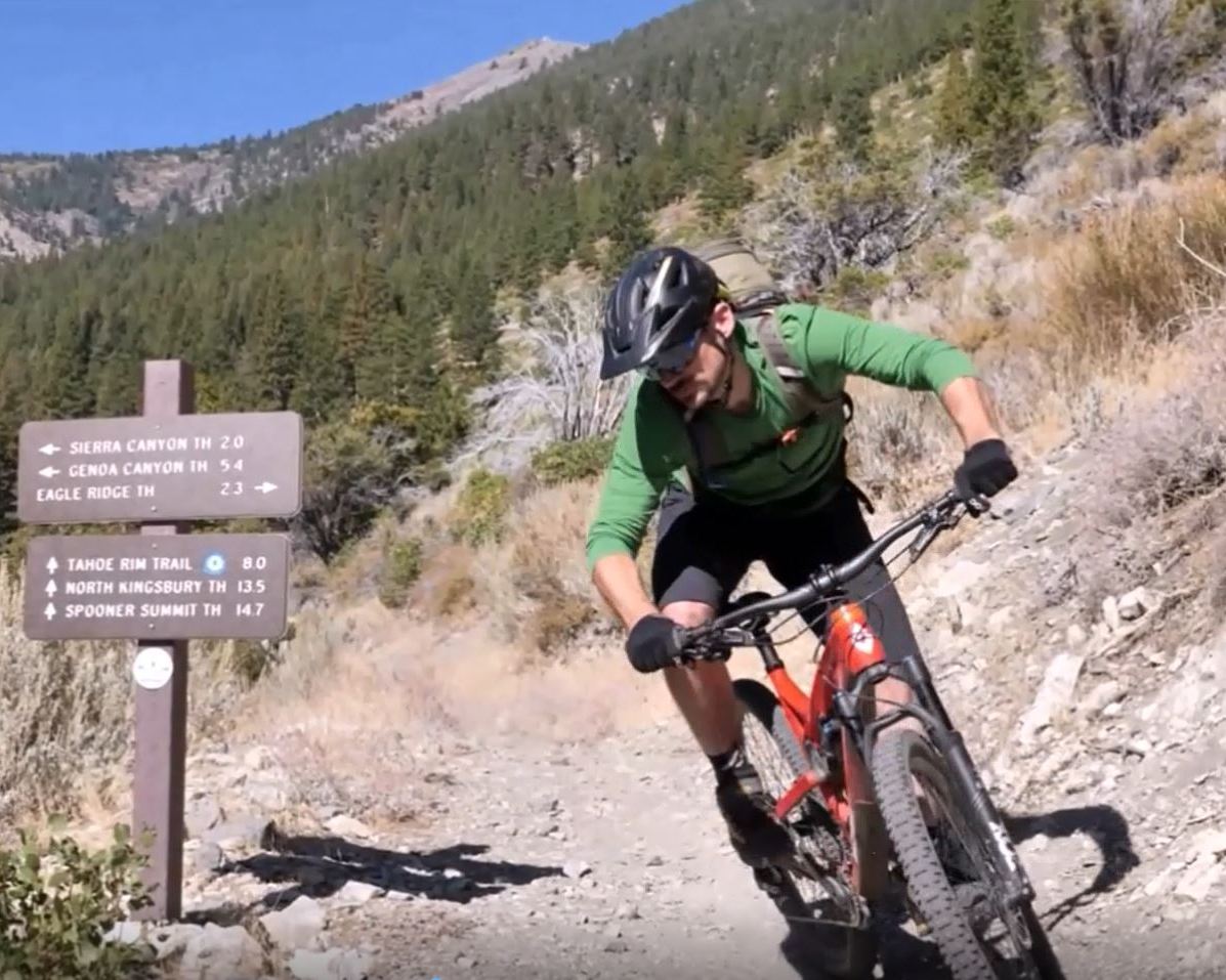
One of the biggest perks to becoming a CVTA member are exclusive invites to events where you can connect with other nature lovers in the community! ![]()
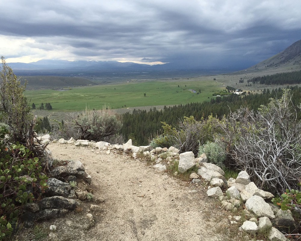
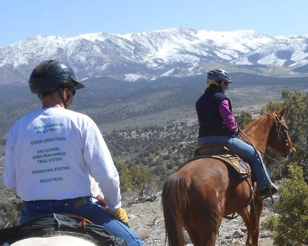
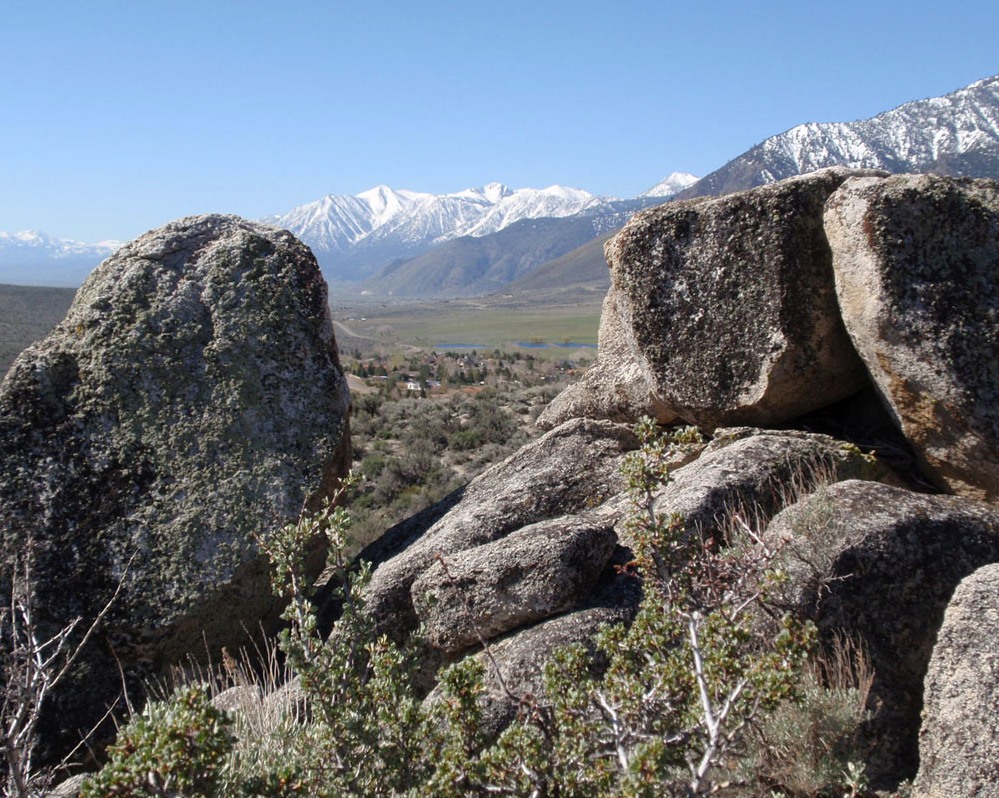
![]() Last month, we held a series of hikes along the Clear Creek Trail where an enthusiastic group of CVTA members hiked from Spooner Summit to Cliff Rock and back for a total of 10+ miles and 1,000’ of ascent.
Last month, we held a series of hikes along the Clear Creek Trail where an enthusiastic group of CVTA members hiked from Spooner Summit to Cliff Rock and back for a total of 10+ miles and 1,000’ of ascent.![]()
![]() Not a member yet? Join us with the link in bio to unlock member events while supporting the trails we all love 💚
Not a member yet? Join us with the link in bio to unlock member events while supporting the trails we all love 💚![]()
![]() #grouphike #hikenevada #carsonvalley #northernnevadahiking #localtrails
#grouphike #hikenevada #carsonvalley #northernnevadahiking #localtrails
Staying alert is key to trail safety. ![]()
![]() When you have headphones playing loud in both ears, you're turning off one of your senses, tuning out other trail users or even potential dangers.
When you have headphones playing loud in both ears, you're turning off one of your senses, tuning out other trail users or even potential dangers. ![]()
![]() Bone conduction headphones (like Shokz brand) are another great option where you can still listen to your music, podcast, or audiobook without tuning out the world around yo#slowandsayhelloh#TrailSafetya#trailsafetytipsytips
Bone conduction headphones (like Shokz brand) are another great option where you can still listen to your music, podcast, or audiobook without tuning out the world around yo#slowandsayhelloh#TrailSafetya#trailsafetytipsytips
Are you ready to run?![]()
![]() Run the Valley is coming up FAST September 26. This is your sign to register early and start training 🏃
Run the Valley is coming up FAST September 26. This is your sign to register early and start training 🏃![]()
![]() Link in bio for registration and more information about the event. We'll see you on the trail 💚
Link in bio for registration and more information about the event. We'll see you on the trail 💚![]()
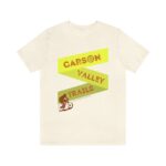
![]() Photo creComet Creation LLCn L#trailruni#runningcommunityu#getoutsidet#carsonvalleya#WhyCVWhyCV
Photo creComet Creation LLCn L#trailruni#runningcommunityu#getoutsidet#carsonvalleya#WhyCVWhyCV
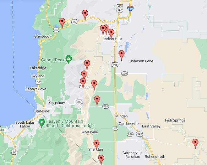
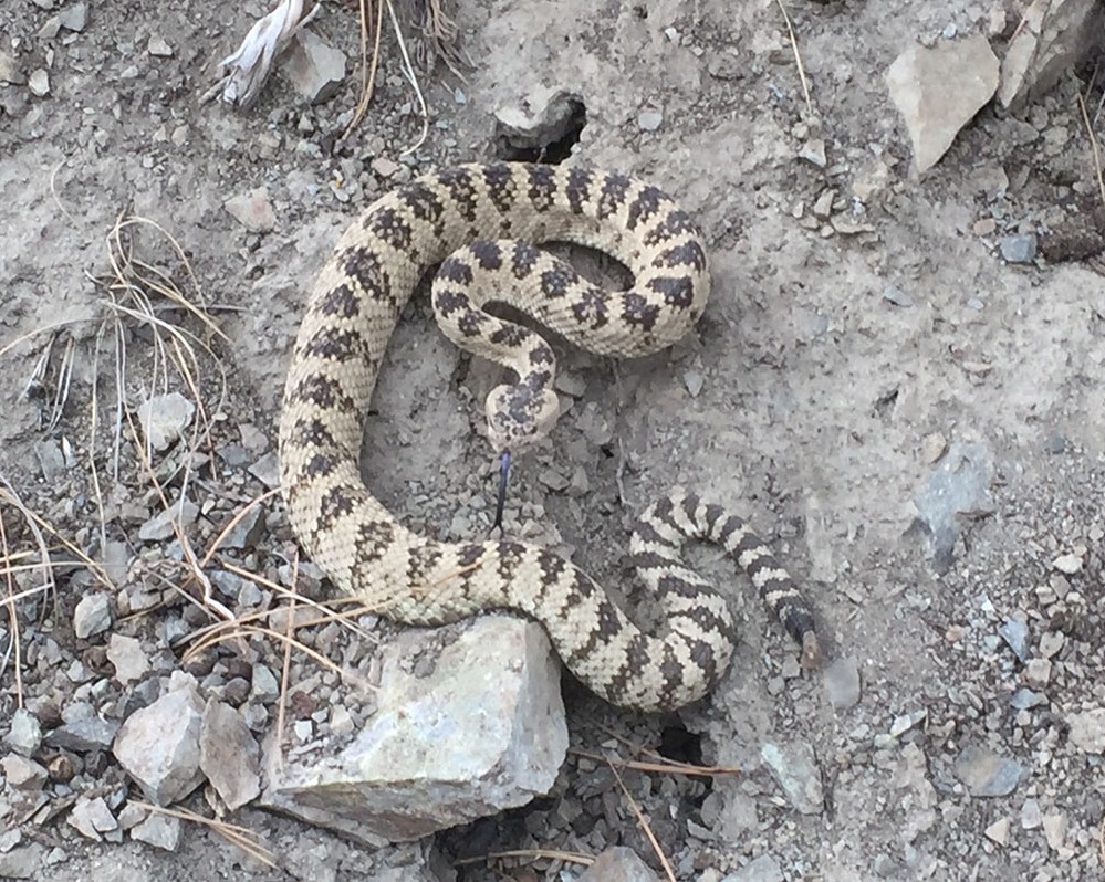
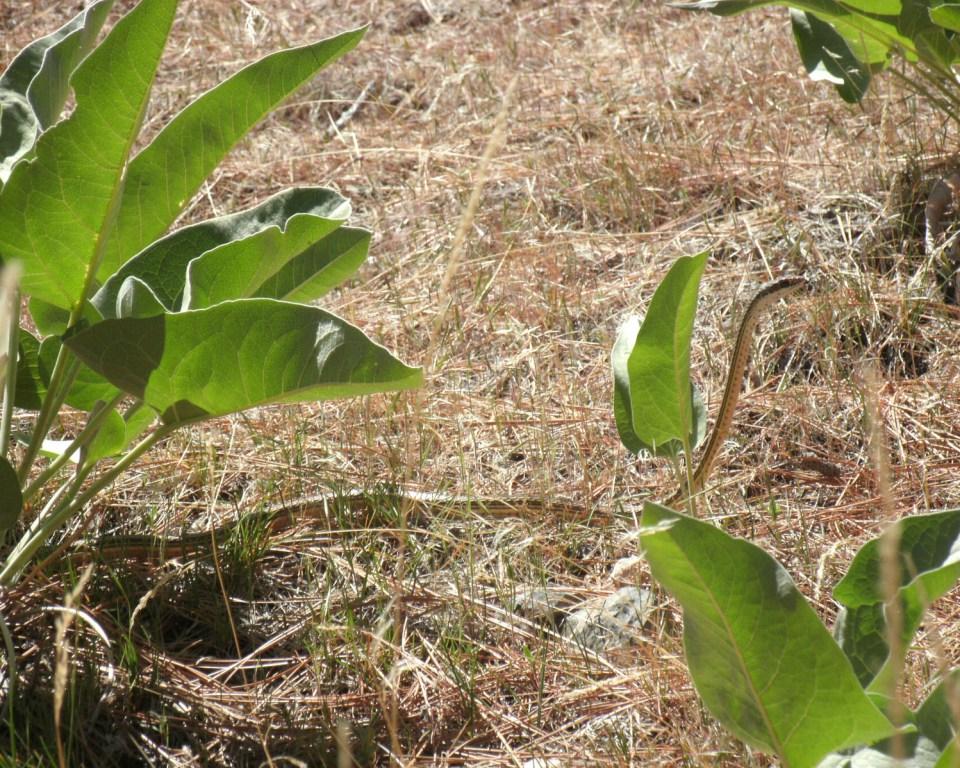
Last night's CVTA Member Scorpion Hike was a success, as we spotted about a dozen of the little creatures under black light.
Last night's CVTA member Scorpion Hike on the Pinyon Trail was superp. Our group spotted about a dozen of the little creatures glowing under black light.
Tomorrow we'll bMain Street Gardnervilleville's Wine Walk answering questions, giving out trail maps and serving refreshments. Come say hi and become a member!
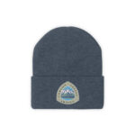
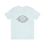
Ready. Set. Register! 🏁![]()
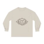
![]() Early registration for our annual Run the Valley trail run event starts now! Join the community on September 26th in James Lee Park for fun, brisk morning outside in the beautiful scenery of the Carson Valley.
Early registration for our annual Run the Valley trail run event starts now! Join the community on September 26th in James Lee Park for fun, brisk morning outside in the beautiful scenery of the Carson Valley.![]()
![]() Early registration comes with a free T-shirt and an annual membership to CVTA, supporting the maintenance and construction of your local trails 💚
Early registration comes with a free T-shirt and an annual membership to CVTA, supporting the maintenance and construction of your local trails 💚![]()
![]() Photo credit: Comet Creation LLC
Photo credit: Comet Creation LLC