


Our Spring 2026 issue of the CVTA Trail Connections newsletter is now available!
Some of the CVTA Board Members describe their reasons for volunteering.
After multiple terms as CVTA president, Neal Falk is passing the torch to Erica Roselius. Many of you have probably met Erica at the events she has organized, including our recent Run the Valley 5K which enjoyed great success with over 60 participants.
In Erica’s words, “I joined the board several years ago because I love our valley’s trails and CVTA’s mission to connect our communities to the outdoors through those trails. As CVTA president, I am excited to continue to build on our mission by creating more events and opportunities for our region’s residents to experience our many trail systems and connect with each other.”
As a fitness trainer, endurance athlete and outdoor enthusiast, Erica brings a uniquely relevant perspective to our organization’s leadership. Plus, we still have Neal’s guidance as a director at large on our board.
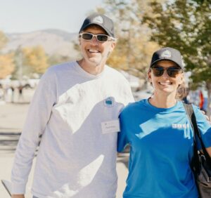
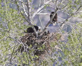
Neal & Erica at our 2022 Trails Fest
Be sure to click “like” if you want to stay up-to-date on project developments, trail building opportunities, hiking events, and many other exciting happenings with the CVTA!
CVTA is proud to partner with the Muscle Powered, Pine Nut Mountains Trails Association, and Alta Alpina Cycling Club for the 2026 CVTA Spoker Ride! 🚵🃏![]()
![]() ♣️ Muscle Powered has worked to make Carson City safer and more accessible for bicycling and walking. Muscle Powered and CVTA share the same deep belief that trails and non-motorized transportation make our communities healthier, happier and more connected.
♣️ Muscle Powered has worked to make Carson City safer and more accessible for bicycling and walking. Muscle Powered and CVTA share the same deep belief that trails and non-motorized transportation make our communities healthier, happier and more connected.![]()
![]() ♦️Pine Nut Mountains Trails Association are fellow stewards of the land we all love to ride, hike and explore! They have been working with the Bureau of Land Management and other government agencies to protect our rights to enjoy the beautiful public lands in our area.
♦️Pine Nut Mountains Trails Association are fellow stewards of the land we all love to ride, hike and explore! They have been working with the Bureau of Land Management and other government agencies to protect our rights to enjoy the beautiful public lands in our area. ![]()
![]() ♠️ The Alta Alpina Cycling Club is a road and mountain bike club in the Lake Tahoe, Carson Valley, Carson City and Markleeville areas whose primary focus is to promote cycling and to create an environment in which cyclists of all ages and abilities can enjoy the sport and socialize with others. They are exactly the kind of community that the Spoker Ride was built for — passionate cyclists who believe that riding is better together.
♠️ The Alta Alpina Cycling Club is a road and mountain bike club in the Lake Tahoe, Carson Valley, Carson City and Markleeville areas whose primary focus is to promote cycling and to create an environment in which cyclists of all ages and abilities can enjoy the sport and socialize with others. They are exactly the kind of community that the Spoker Ride was built for — passionate cyclists who believe that riding is better together.![]()
![]() On June 6th, each of our partners will be hosting one of our card stations along the Spoker Ride route so give them a shout out for all the great work they do when you draw your card!
On June 6th, each of our partners will be hosting one of our card stations along the Spoker Ride route so give them a shout out for all the great work they do when you draw your card!![]()
![]() #carsonvalley #CarsonCityEvents
#carsonvalley #CarsonCityEvents
CVTA is thrilled to recognize Demps Capital, LLC as our premier sponsor for the 2026 CVTA Spoker Ride! 🚵🃏![]() Demps Capital is a locally rooted investment firm dedicated to helping investors pursue consistent, reliable financial outcomes through discipline and long-term focus. Their philosophy is simple: steady effort and patience lead to real results, whether you're building a portfolio or crushing a trail.
Demps Capital is a locally rooted investment firm dedicated to helping investors pursue consistent, reliable financial outcomes through discipline and long-term focus. Their philosophy is simple: steady effort and patience lead to real results, whether you're building a portfolio or crushing a trail. ![]()
![]() As an avid cyclist himself, Brian knows firsthand what it means to be part of this community, and his commitment to supporting local riders reflects the same values that define his work. We are deeply grateful for his generous sponsorship and proud to have Demps Capital in our corn#carsonvalleya#CarsonCityEventsvents
As an avid cyclist himself, Brian knows firsthand what it means to be part of this community, and his commitment to supporting local riders reflects the same values that define his work. We are deeply grateful for his generous sponsorship and proud to have Demps Capital in our corn#carsonvalleya#CarsonCityEventsvents
CVTA is grateful to have Marcus Ashley Gallery on board as a sponsor of the 2026 CVTA Spoker Ride!![]()
![]() A central feature of the South Lake Tahoe art scene, Marcus Ashley Gallery has spent over two decades sharing a genuine passion for fine art with the community and beyond. Their stunning space showcases an endless array of oil and acrylic paintings, watercolors, limited edition prints, bronze sculptures, glass art, metal art and jewelry representing both celebrated local Sierra artists and internationally acclaimed names.
A central feature of the South Lake Tahoe art scene, Marcus Ashley Gallery has spent over two decades sharing a genuine passion for fine art with the community and beyond. Their stunning space showcases an endless array of oil and acrylic paintings, watercolors, limited edition prints, bronze sculptures, glass art, metal art and jewelry representing both celebrated local Sierra artists and internationally acclaimed names.![]()
![]() Whether you are a lifelong collector or simply someone who appreciates beautiful things, if you have not visited yet, put it on your list next time you are up at the lake!
Whether you are a lifelong collector or simply someone who appreciates beautiful things, if you have not visited yet, put it on your list next time you are up at the lake!![]()
![]() #northernnevada #CarsonCityEvents
#northernnevada #CarsonCityEvents
CVTA is so excited to welcome the Overland Restaurant and Pub as a new sponsor of the 2026 Spoker Ride! 🚵🃏![]()
![]() Located in the heart of downtown Gardnerville in a historic building originally built in 1902 as a meat market, the Overland has deep roots in Carson Valley history. Today it is a beloved gathering place for locals, serving locally sourced meats, pastas, breads and other produce in a menu with a distinct smokehouse vibe. Fresh, fun and family friendly, with outdoor seating and a full pub side, it's exactly the kind of place you want to settle into after a day of riding trai#carsonvalleya#GardnervilleNVlleNV
Located in the heart of downtown Gardnerville in a historic building originally built in 1902 as a meat market, the Overland has deep roots in Carson Valley history. Today it is a beloved gathering place for locals, serving locally sourced meats, pastas, breads and other produce in a menu with a distinct smokehouse vibe. Fresh, fun and family friendly, with outdoor seating and a full pub side, it's exactly the kind of place you want to settle into after a day of riding trai#carsonvalleya#GardnervilleNVlleNV
Luck is in the desert air— Spoker Ride is only two weeks away! 🃏🚵♀️![]()
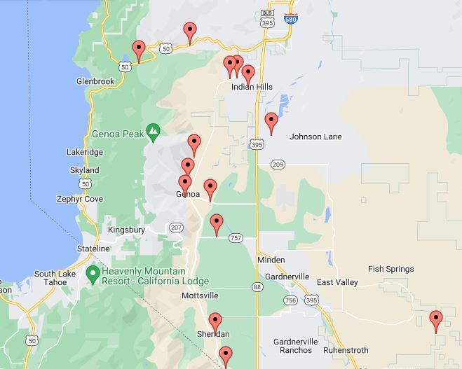
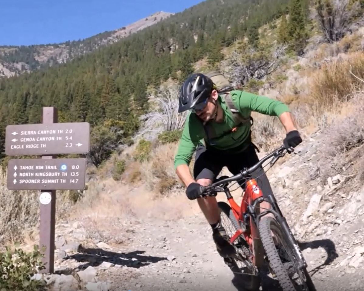
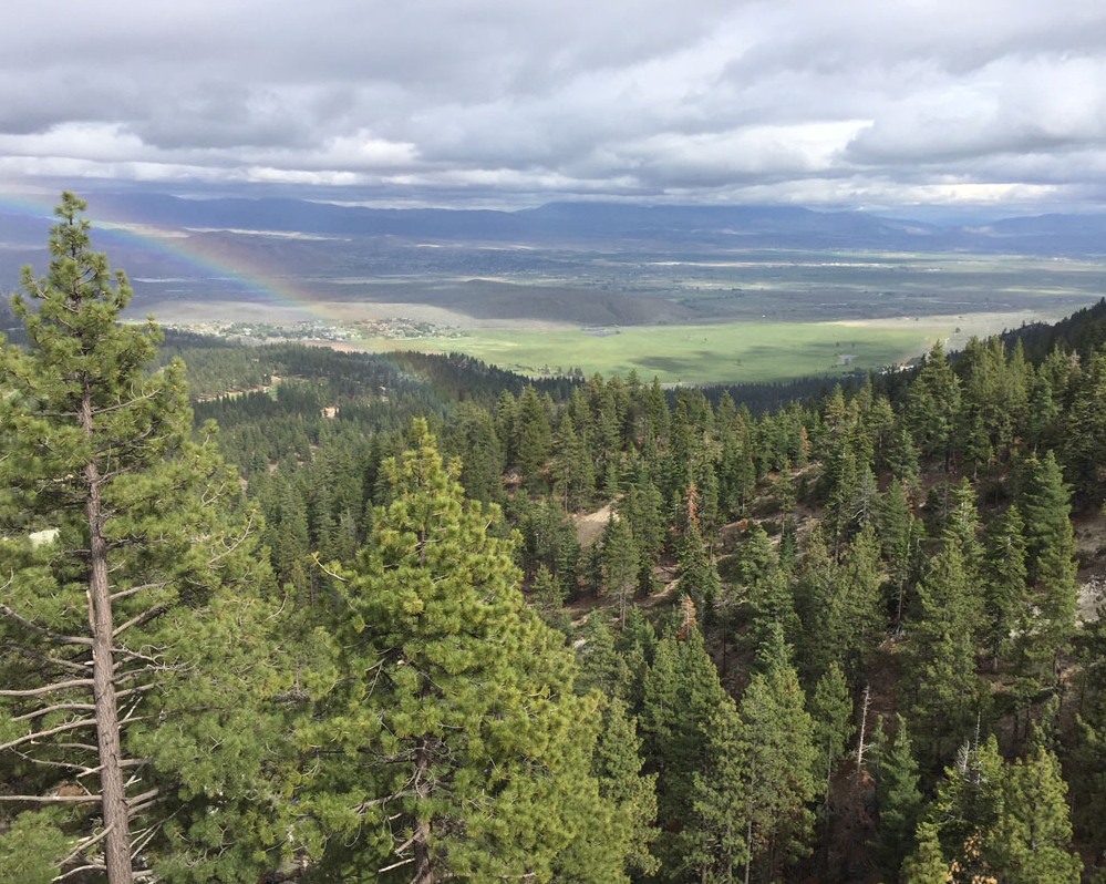
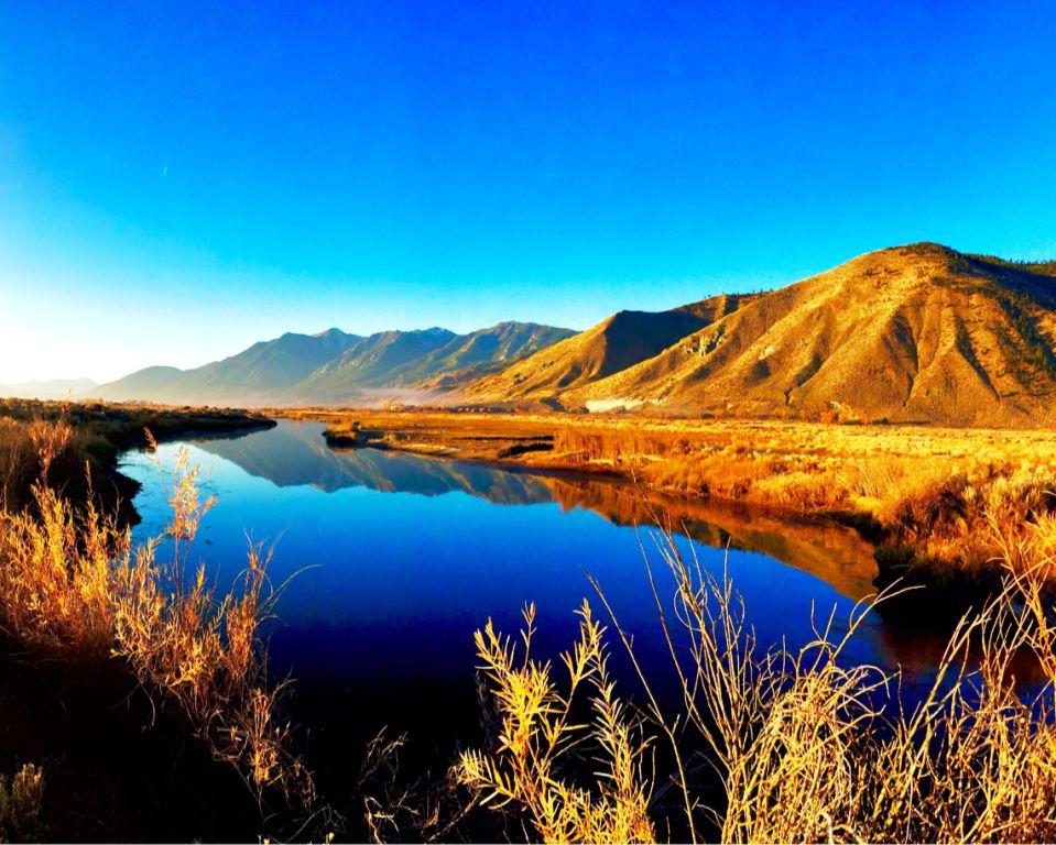
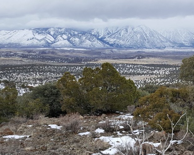
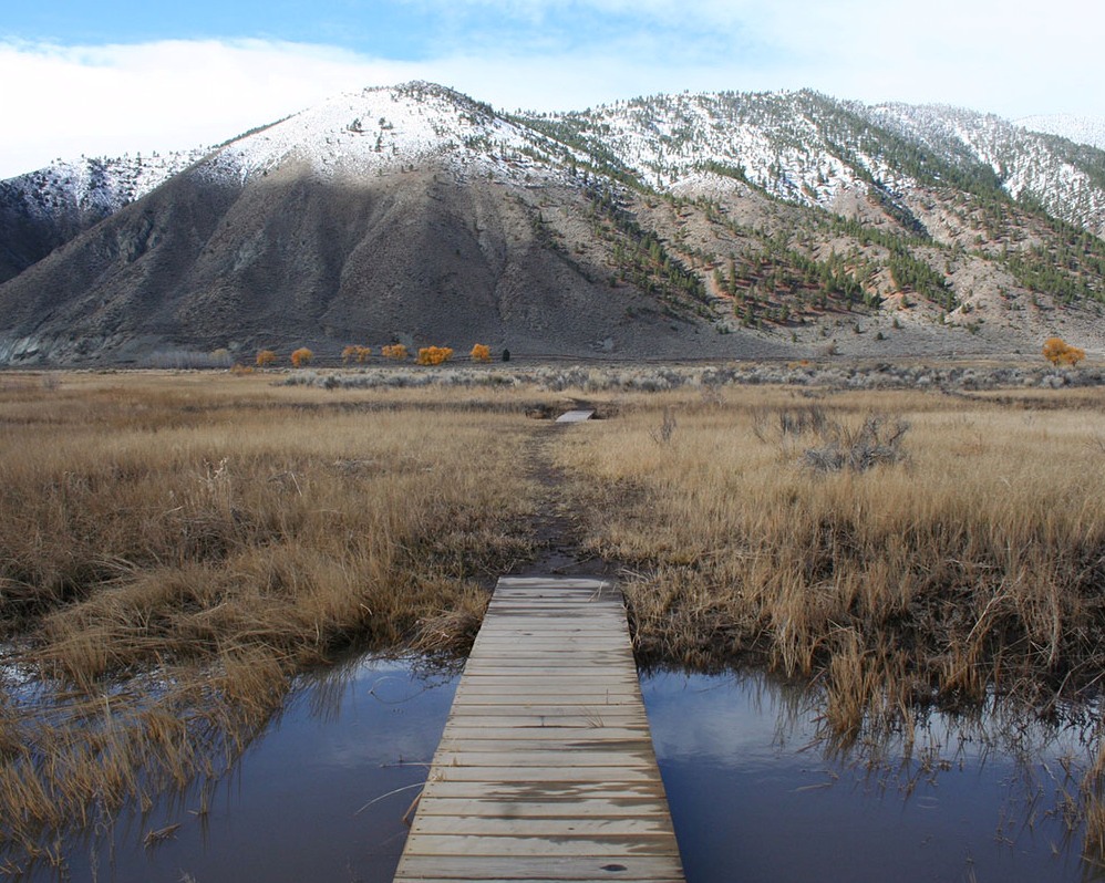
![]() On June 6, the trail turns into a game at our annual Spoker Ride. Riders will set out on a scenic 10-ish mile journey through Carson Valley’s trails, stopping along the way to draw cards and build their best poker hand for a chance to win prizes
On June 6, the trail turns into a game at our annual Spoker Ride. Riders will set out on a scenic 10-ish mile journey through Carson Valley’s trails, stopping along the way to draw cards and build their best poker hand for a chance to win prizes![]()
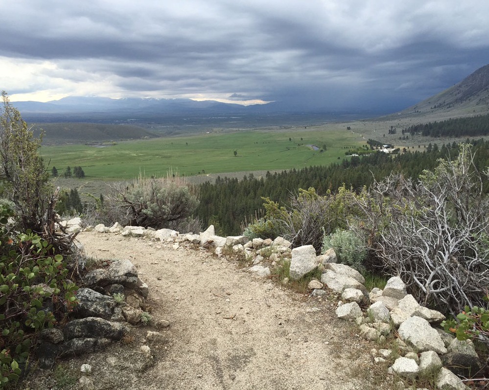
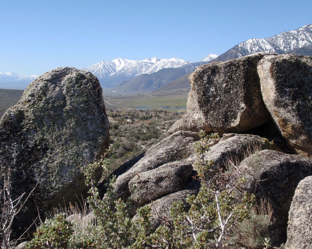
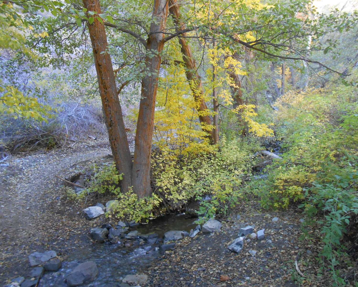
![]() But with views like these, everyone’s a winner ⛰️
But with views like these, everyone’s a winner ⛰️![]()
![]() ♠️ June 6 | 9AM
♠️ June 6 | 9AM![]() 📍 James Lee Park, Carson City
📍 James Lee Park, Carson City![]() 🚴 All ages & abilities welcome
🚴 All ages & abilities welcome![]() 🎟️ LINK IN BIO TO REGISTER
🎟️ LINK IN BIO TO REGISTER![]()
![]() #whycv #carsonvalley #mountainbiking #carsoncityevents #spokerride
#whycv #carsonvalley #mountainbiking #carsoncityevents #spokerride
Still space available for our dog skills class this weekend! Sign up today!
This content isn’t available right now
When this happens, it's usually because the owner only shared it with a small group of people, changed who can see it or it's been deleted.
We have space open for our Trail Ready Dog Skills class this Sunday…so we’re opening it up to non-members. If you are not a member of CVTA and would like to attend please RSVP to: erica@carsonvalleytrails.org. Payment via cash or check on-site. ![]()
![]()
Trail-Ready Dogs: Skills for Safe and Calm Hiking – Carson Valley Trails Association
carsonvalleytrails.org
Trail-Ready Dogs: Skills for Safe and Calm Hiking Members-Only Workshop | Carson Valley Trails Association May 24th from 10am – 12pm $35 per person (cash or check only paid upon arrival) Enjoy hikin…
Not every sponsor comes from the cycling world and that's exactly what makes Above the Bar Tattoo such a wonderful addition to our Spoker Ride sponsor family! 🚲♥️![]()
![]() Above the Bar Tattoo is a family owned and operated tattoo studio located right in historic downtown Gardnerville, run by power couple Nick and Jenn. They are the kind of small, community minded local business that makes the Carson Valley special and we are grateful they chose to support our trails and our riders.
Above the Bar Tattoo is a family owned and operated tattoo studio located right in historic downtown Gardnerville, run by power couple Nick and Jenn. They are the kind of small, community minded local business that makes the Carson Valley special and we are grateful they chose to support our trails and our riders. ![]()
![]() If you are thinking about commemorating your Spoker Ride finish with some new ink, we know just the plac#GardnervilleNVl#carsonvalleya#mtbeventevent
If you are thinking about commemorating your Spoker Ride finish with some new ink, we know just the plac#GardnervilleNVl#carsonvalleya#mtbeventevent